Araracuara Airport
| Araracuara Airport | |||||||||||
|---|---|---|---|---|---|---|---|---|---|---|---|
| IATA: ACR – ICAO: SKAC | |||||||||||
| Summary | |||||||||||
| Serves | Araracuara, Colombia | ||||||||||
| Elevation AMSL | 381 m / 1,250 ft | ||||||||||
| Coordinates | 00°36′03″S 072°23′53″W / 0.60083°S 72.39806°WCoordinates: 00°36′03″S 072°23′53″W / 0.60083°S 72.39806°W | ||||||||||
| Map | |||||||||||
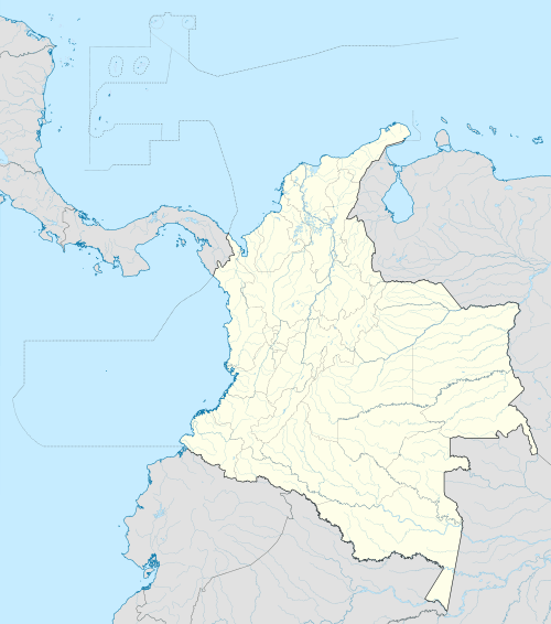 ACR Location of airport in Colombia | |||||||||||
| Runways | |||||||||||
| |||||||||||
Araracuara Airport (IATA: ACR, ICAO: SKAC) is an airport serving Araracuara, Colombia.
Accidents and incidents
- On 6 September 2014, ten people were killed when a twin-engine Piper PA-31 Navajo aircraft, a small passenger plane belonging to the Laser company, crashed in the Amazon rainforest near Puerto Santander after taking off from Araracuara Airport. Among those killed were two researchers from the Alexander von Humboldt Biological Resources Research Institute. There were no survivors.[3]
References
- ↑ Airport information for ACR at Great Circle Mapper.
- ↑ "AIP Colombia - AD 1.3 INDICE DE AERODROMOS Y HELIPUERTOS" (pdf) (in Spanish). Aeronáutica Civil. Retrieved 4 December 2015.
- ↑ "Small passenger plane crashes in Colombian jungle, killing 10". BNO News. Retrieved 26 December 2014.
This article is issued from Wikipedia - version of the 12/4/2015. The text is available under the Creative Commons Attribution/Share Alike but additional terms may apply for the media files.