Aquila, Michoacán
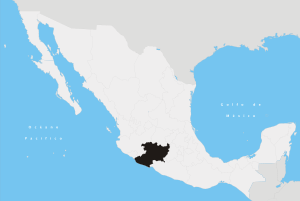
Aquila (Spanish pronunciation: [aˈkila]) is a town in the southwest part of the Mexican state of Michoacán. It is 23 mi/43 km southeast of Tecoman. Its population was 1,915 in 2002. It is located at Latitude: 18°35'N Longitude: 103°31'W and at elevation 989 ft/510 m. It has harsh terrain. Agriculture consists of small farming, mainly for subsistence. There is one paved road south to Mexico Highway 200 (5 mi/11 km away).
Coordinates: 18°35′N 103°31′W / 18.583°N 103.517°W
This article is issued from Wikipedia - version of the 6/27/2016. The text is available under the Creative Commons Attribution/Share Alike but additional terms may apply for the media files.