Apátistvánfalva
| Apátistvánfalva Stephansdorf · Števanovci | |
|---|---|
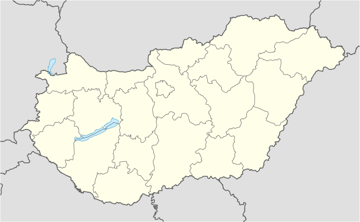 Apátistvánfalva Location of Apátistvánfalva | |
| Coordinates: 46°53′48″N 16°15′16″E / 46.89679°N 16.25436°E | |
| Country |
|
| County | Vas |
| Area | |
| • Total | 12.86 km2 (4.97 sq mi) |
| Population (2004) | |
| • Total | 416 |
| • Density | 31.10/km2 (80.5/sq mi) |
| Time zone | CET (UTC+1) |
| • Summer (DST) | CEST (UTC+2) |
| Postal code | 9982 |
| Area code(s) | 94 |
Apátistvánfalva (Slovene: Števanovci, German: Stephansdorf) is a village in Vas County, Hungary.
Notable residents
- Károly Krajczár (born 1936), Hungarian Slovene teacher
- Ferenc Marics (1791-1844), Hungarian teacher
- Antal Stevanecz (1861-1921), Hungarian Slovene teacher and writer
Coordinates: 46°54′N 16°16′E / 46.900°N 16.267°E
This article is issued from Wikipedia - version of the 11/9/2016. The text is available under the Creative Commons Attribution/Share Alike but additional terms may apply for the media files.