Anthiyur
| Anthiyur | |
|---|---|
| town | |
 | |
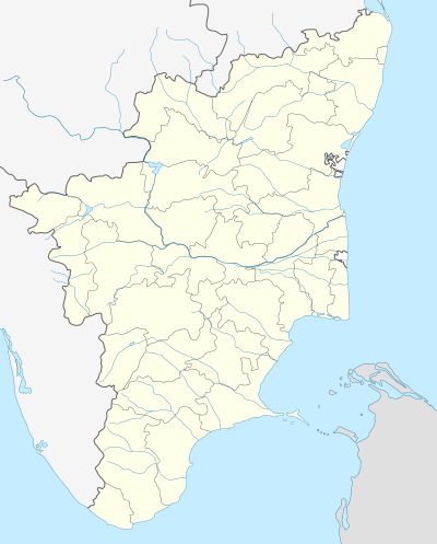 Anthiyur Location in Tamil Nadu, India | |
| Coordinates: 11°35′N 77°36′E / 11.58°N 77.60°ECoordinates: 11°35′N 77°36′E / 11.58°N 77.60°E | |
| Country |
|
| State | Tamil Nadu |
| Region | Kongu nadu |
| District | Erode |
| Elevation | 251 m (823 ft) |
| Population (2001) | |
| • Total | 23,697 |
| Languages | |
| • Official | Tamil |
| Time zone | IST (UTC+5:30) |
| PIN | 638501,638314 |
| Telephone code | 04256 |
| Vehicle registration | TN-36 |
| Lok Sabha constituency | Tirupur |
| State Assembly constituency | Anthiyur |
Anthiyur is a taluk[1][2] and panchayat town in Erode district in the state of Tamil Nadu, India.
Geography
Anthiyur is located at 11°35′N 77°36′E / 11.58°N 77.60°E.[3] It has an average elevation of 251 m (823 ft). It is located about 18 km from Bhavani ,30 km from Erode and 93.7 km from Coimbatore.

Climate
The temperature is moderate throughout the year except during summer. Rainfall is moderate to high, uncertain and not well distributed. It is warm for most of the year. The city is not windy but the abundance of trees and vegetation surrounding the city makes its climate pleasant.
Economy
Anthiyur is known for Betel leaves and textile garments. It also has one of biggest weekly markets (shandhai) in Tamil Nadu which assembles every week Monday.
Transport
Anthiyur is well connected by roads with Gobichettipalayam and Sathyamangalam via Athani (Tamil Nadu), Erode via Bhavani. Tamil Nadu State Transport Corporation (TNSTC) has a depot apart from a central bus stand in Anthiyur. The nearest Railway station is Erode Junction (32 km), which is a major railway station from where trains ply to all over the country. The nearest airport is Coimbatore International Airport (100 km).
Places of interest
- Anthiyur Bhadrarkalliamman Kovil Temple
- Kariya kali amman & Periya maariamman temple,Kurumbapalayam.
- Bhadrakalliamman Temple
- Gurunathaswamy Temple
- Angaalamman temple
- Sri Balamurugan Temple Nallamoppanur.,
- Malai Karuppasamy temple
- Vellakaradu Murugan temple
- Selamboor Amman temple
- Tippu's fort
- Varattupallam dam
- Reserve Forests
- Semmunisamy Temple Poonachi
- Kombuthoki Mariamman Temple
- Kattur Karuppasamy Temple
- Thammanaickanur mutthalamman temple
- sokkanachiamman temple
- murugan koil* easaparai
- Kali Amman Temple, Poonachi
Horse fair
Horse fair (Kuthirai Santhai) is organized at the time of Sri Gurunatha Swamy temple festival in the Tamil month Aadi.[4] Anthiyur horse fair is said to be organized right from Tippu Sultan time.
References
- ↑ Anthiyur taluk
- ↑ http://www.erode.tn.nic.in/taluk.htm
- ↑ Falling Rain Genomics, Inc - Andiyur
- ↑ "Archived copy". Archived from the original on 2014-01-12. Retrieved 2014-08-13.