Anthisnes
| Anthisnes | |||
|---|---|---|---|
| Municipality | |||
 | |||
| |||
 Anthisnes Location in Belgium | |||
|
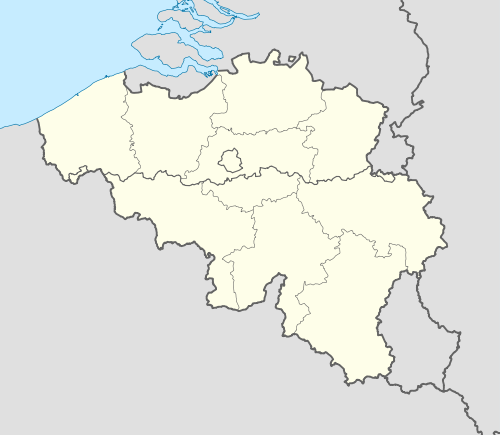
Location of Anthisnes in the province of Liège  | |||
| Coordinates: 50°29′N 05°31′E / 50.483°N 5.517°ECoordinates: 50°29′N 05°31′E / 50.483°N 5.517°E | |||
| Country | Belgium | ||
| Community | French Community | ||
| Region | Wallonia | ||
| Province | Liège | ||
| Arrondissement | Huy | ||
| Government | |||
| • Mayor | Marc Tarabella (PS) | ||
| • Governing party/ies | PS-IC | ||
| Area | |||
| • Total | 37.08 km2 (14.32 sq mi) | ||
| Population (1 January 2016)[1] | |||
| • Total | 4,116 | ||
| • Density | 110/km2 (290/sq mi) | ||
| Postal codes | 4160-4163 | ||
| Area codes | 04 | ||
| Website | www.anthisnes.be | ||


Anthisnes is a Belgian municipality located in the Walloon province of Liège.[2] On January 1, 2006, Anthisnes had a total population of 3,998. The total area is 37.08 km² which gives a population density of 108 inhabitants per km².
The municipality consists of the following sub-municipalities: Anthisnes proper, Hody, Tavier, and Villers-aux-Tours.
Famous inhabitants
See also
References
- ↑ Population per municipality as of 1 January 2016 (XLS; 397 KB)
- ↑ Académie Royale des Sciences, des Lettres et des Beaux-Arts de Belgique (Bruxelles) (1848). Bulletins de l'Académie Royale des Sciences, des Lettres et des Beaux-Arts de Belgique. Hayez. pp. 617–.
External links
-
 Media related to Anthisnes at Wikimedia Commons
 |
Nandrin | Neupré | Esneux | |
| Tinlot | |
Comblain-au-Pont | ||
| ||||
| | ||||
| Ouffet | Hamoir |
Municipalities of the Province of Liège | ||
|---|---|---|
| Huy |  | |
| Liège | ||
| Verviers | ||
| Waremme | ||
This article is issued from Wikipedia - version of the 12/1/2016. The text is available under the Creative Commons Attribution/Share Alike but additional terms may apply for the media files.