Alula Airport
| Alula Airport | |||||||||||
|---|---|---|---|---|---|---|---|---|---|---|---|
| IATA: ALU – ICAO: HCMA | |||||||||||
| Summary | |||||||||||
| Airport type | Public | ||||||||||
| Owner | Puntland Ministry for Civil Aviation and Airports | ||||||||||
| Serves | Alula, Somalia | ||||||||||
| Elevation AMSL | 6 ft / 2 m | ||||||||||
| Coordinates | 11°57′31″N 050°44′54″E / 11.95861°N 50.74833°ECoordinates: 11°57′31″N 050°44′54″E / 11.95861°N 50.74833°E | ||||||||||
| Map | |||||||||||
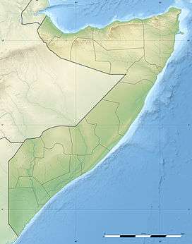 HCMA Location of the airport in Somalia | |||||||||||
| Runways | |||||||||||
| |||||||||||
|
Source: [1] | |||||||||||
Alula Airport (IATA: ALU, ICAO: HCMA) is an airport serving Aluula (Alula),[1] a town in the northeastern Bari region of Somalia.
Facilities
The airport resides at an elevation of 6 feet (2 m) above mean sea level. It has a runway that is 900 metres (2,953 ft) long.[1]
See also
- List of airports in Somalia
 Aviation portal
 Somalia portal
Notes
- 1 2 3 Airport information for Alula, Somalia (HCMA / ALU) at Great Circle Mapper.
References
- "Alula (ALU) Somalia". World-Airport-Codes. Retrieved 28 July 2013.
External links
This article is issued from Wikipedia - version of the 10/3/2013. The text is available under the Creative Commons Attribution/Share Alike but additional terms may apply for the media files.