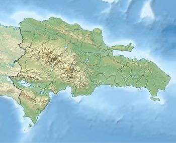
Altos de Arroyo Hondo
| Altos de Arroyo Hondo | |
|---|---|
 Altos de Arroyo Hondo | |
| Coordinates: 18°30′N 69°59′W / 18.500°N 69.983°WCoordinates: 18°30′N 69°59′W / 18.500°N 69.983°W | |
| Country | Dominican Republic |
| Province | Distrito Nacional |
| Government | |
| • Mayor | Roberto Salcedo |
| Population (2008) | |
| • Total | 86,424 |
| Website | http://www.adn.gov.do/ |
Altos de Arroyo Hondo is a neighbourhood in the city of Santo Domingo in the Distrito Nacional of the Dominican Republic. This neighbourhood is populated in particular by individuals from the upper middle and lower middle classes.
Places
- Arroyo Salado
- Barrio Mejoramiento Social
- Barrio Obrero
- Bella Vista
- Capotillo
- Carlos Guerra
- Colonia Agrícola
- Cristo Rey
- El Algibe
- El Cachón
- El Ensanchito
- Ensanche La Esperanza
- Ensanche Piantini
- Ensanche Quisqueya
- Evaristo Morales
- Fundación
- Galá
- Gascue
- Guaricano
- La Agustina
- La Barquita de Santa Cruz
- La Caridad
- La Faría
- La Julia
- La Venta
- Los Prados
- Manzano
- Marmolejos
- Perantuén
- San Carlos
- Simón Bolívar
- Villa Consuelo
- Villa María
- Villas Agrícolas No. 1
- Villas Agrícolas No. 2
References
- ↑ Arroyo Hondo, Dominican Republic. Places in the World website. Retrieved on August 21, 2016.
External links
This article is issued from Wikipedia - version of the 8/21/2016. The text is available under the Creative Commons Attribution/Share Alike but additional terms may apply for the media files.