Almáchar
| Almáchar | ||
|---|---|---|
| Municipality | ||
 | ||
| ||
 Municipal location in the Province of Málaga | ||
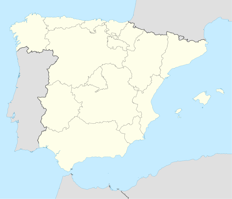 Almáchar Location in Spain | ||
| Coordinates: 36°48′N 4°14′W / 36.800°N 4.233°WCoordinates: 36°48′N 4°14′W / 36.800°N 4.233°W | ||
| Country |
| |
| Community |
| |
| Province | Málaga | |
| Comarca | Axarquía | |
| Area | ||
| • Total | 14.3 km2 (5.5 sq mi) | |
| Population (2013) | ||
| • Total | 1,915 | |
| • Density | 130/km2 (350/sq mi) | |
| Demonym(s) | Almachareños | |
| Time zone | CET (UTC+1) | |
| • Summer (DST) | CEST (UTC+2) | |
| Website | www.almachar.es | |

Almáchar is a town and municipality in the province of Málaga, part of the autonomous community of Andalusia in southern Spain. The municipality is situated approximately 35 kilometres from Málaga capital. It has a population of approximately 2,100 residents. It is the capital of the moscatel raisin area. Natives of the area are called Almachareños.
Almáchar is situated in the heart of the Axarquía at 200 metres above sea level, 35 kilometres from Málaga city and 14 from Vélez-Málaga. It is built on a small hill between the El Borge and Almáchar rivers, close to the Mountains of Málaga and surrounded by vineyards, olive and cereal groves.
Church of San Mateo
The Church of San Mateo dates from the 17th century, built in the late Gothic and Renaissance style.[1] It was built in three columned naves, with peaked arches. The ceiling structure is different on the central and outside naves, the central one hiding its structure beneath a panelled arch. The front section of this makes a vault in the shape of a cross. The two vesting rooms, built before the main structure, are in an obvious rococo style.
References
- ↑ "Málaga Province - Almáchar". Andalucia.com. Retrieved 10 September 2014.
External links
| Wikimedia Commons has media related to Almáchar. |