Alins
| Alins | ||
|---|---|---|
| Municipality | ||
 | ||
| ||
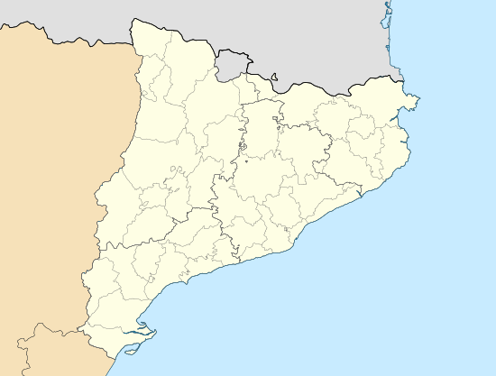 Alins Location in Catalonia | ||
| Coordinates: 42°33′2″N 1°19′11″E / 42.55056°N 1.31972°E | ||
| Country |
| |
| Community |
| |
| Province | Lleida | |
| Comarca | Pallars Sobirà | |
| Government | ||
| • Mayor | Josep Maria Lladós Callís (2015)[1] | |
| Area[2] | ||
| • Total | 183.2 km2 (70.7 sq mi) | |
| Elevation | 1,048 m (3,438 ft) | |
| Population (2014)[1] | ||
| • Total | 286 | |
| • Density | 1.6/km2 (4.0/sq mi) | |
| Website |
alins | |

Alins is a municipality in the comarca of the Pallars Sobirà in Catalonia, Spain. It adjoins France and Andorra. It covers the valleys of the Noguera de Vallferrara and Tor rivers in the north of the comarca. The Pica d'Estats (3142 m, the highest point in Catalonia) is part of the Montcalm Massif on the frontier between this municipality and Ariège, France. A local road links the municipality with the L-504 road.
Demography
The municipality of Alins is formed of seven villages. Those marked with an asterisk are "delocalised municipal entities" (entitats municipals descentralitzades) and have their own local councils with limited powers. Populations are given as of 2005:
- Ainet de Besan (35)*
- Alins (58)
- Araós (29)*
- Àreu (84)*
- Besan (5)
- Norís (12)
- Tor (25), linked with Andorra by a forest track
Note
- ^ Entitats municipals descentralitzades are governed by the Llei Municipal i de Règim Local de Catalunya (8/1987 de 15 d'abril de 1987). They correspond to entidades locales menores in the rest of Spain (known as entitats locals menors in the Valencian Community and the Balearic Islands).
References
- 1 2 "Ajuntament d'Alins". Generalitat of Catalonia. Retrieved 2015-11-13.
- ↑ "El municipi en xifres: Alins". Statistical Institute of Catalonia. Retrieved 2015-11-23.
- Panareda Clopés, Josep Maria; Rios Calvet, Jaume; Rabella Vives, Josep Maria (1989). Guia de Catalunya, Barcelona:Caixa de Catalunya. ISBN 84-87135-01-3 (Spanish). ISBN 84-87135-02-1 (Catalan).
External links
- Official website (Catalan)
- Information from the Generalitat de Catalunya (Catalan)
- Information from the Institut d'Estadística de Catalunya (Catalan)
 |
Esterri de Cardós | Lladorre | Auzat (France) | |
| Vall de Cardós | |
La Massana (Andorra) | ||
| ||||
| | ||||
| Tírvia | Farrera | Les Valls de Valira |
Municipalities of Pallars Sobirà | ||
|---|---|---|
This article is issued from Wikipedia - version of the 8/13/2016. The text is available under the Creative Commons Attribution/Share Alike but additional terms may apply for the media files.