Albina Airstrip
| Albina Airstrip | |||||||||||
|---|---|---|---|---|---|---|---|---|---|---|---|
| IATA: ABN – ICAO: SMBN | |||||||||||
| Summary | |||||||||||
| Airport type | Public | ||||||||||
| Operator | Luchtvaartdienst Suriname | ||||||||||
| Location | Albina, Suriname | ||||||||||
| Elevation AMSL | 21 ft / 6 m | ||||||||||
| Coordinates | 5°30′50″N 54°03′00″W / 5.51389°N 54.05000°WCoordinates: 5°30′50″N 54°03′00″W / 5.51389°N 54.05000°W | ||||||||||
| Map | |||||||||||
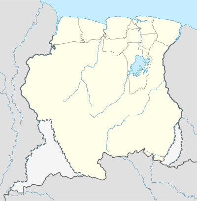 SMBN Location in Suriname | |||||||||||
| Runways | |||||||||||
| |||||||||||
Albina Airstrip (IATA: ABN, ICAO: SMBN) is an airport serving Albina, the capital of the Marowijne District of Suriname. It is one of the oldest airports in Suriname, in use since 1953, when the Piper Cub (PZ-NAC) of Kappel-van Eyck named "Colibri" landed there from Zorg en Hoop Airport.
The St Laurent du Maroni non-directional beacon (Ident: CW) is located 5 kilometres (3.1 mi) south of the runway, across the Maroni River in French Guiana.
Airlines and destinations
Airlines serving this airport are:
| Airlines | Destinations |
|---|---|
| Blue Wing Airlines | Paramaribo, Zorg en Hoop Airport[3] |
| Caricom Airways | Paramaribo, Zorg en Hoop Airport[4] |
| Gum Air | Paramaribo, Zorg en Hoop Airport[5] |
| Hi-Jet Helicopter Services | Paramaribo, Zorg en Hoop Airport |
| Suriname Air Force / Surinaamse Luchtmacht | Paramaribo, Zorg en Hoop Airport |
See also
 Suriname portal
 Aviation portal
- List of airports in Suriname
- Transport in Suriname
References
- ↑ Airport information for SMBN at Great Circle Mapper.
- ↑ Google Maps - Albina
- ↑ Blue Wing schedule
- ↑ Caricom destinations Archived March 15, 2013, at the Wayback Machine.
- ↑ Gum Air destinations
External links
- Accident history for ABN at Aviation Safety Network
- Albina Airport
- OurAirports - Albina
- OpenStreetMaps - Albina
This article is issued from Wikipedia - version of the 11/14/2016. The text is available under the Creative Commons Attribution/Share Alike but additional terms may apply for the media files.