Akkari, Syria
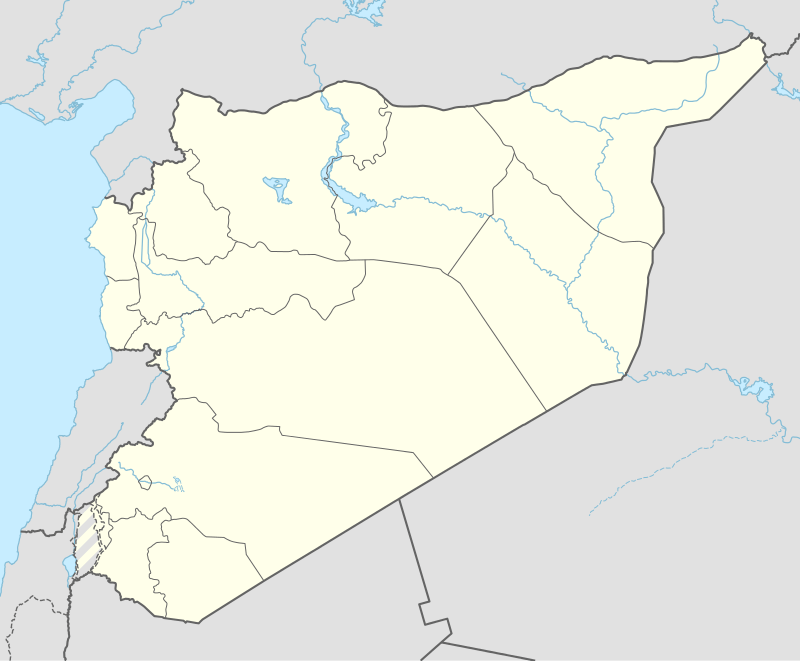
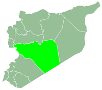
Al-'Akkari (Arabic: عكاري) is a town in northwestern Syria administratively belonging to the Homs Governorate just north of the border with Lebanon and west of Homs. Nearby towns include Talkalakh to the east, Marmarita to the northeast and Safita to the north. According to the Central Bureau of Statistics (CBS) al-Akkari had a population of 2,127 in 2004.[1]
It was historically situated in an important crossroad for those moving between Turkey and coastal city of Beirut, Lebanon. A major road hub during both the Roman and Ottoman periods, the Palestine Railway built by the French passed through the al-Akkari. Reconnected after World War II, the railway was disconnected during the 1970s. The national railway operator, Chemins de Fer Syriens, still has an operational station in the town
References
|
|---|
|
| |
|---|
| Homs
Subdistrict | |
|---|
| Ayn al-Niser
Subdistrict | |
|---|
| Furqlus
Subdistrict | |
|---|
| Hisyah
Subdistrict | |
|---|
| Khirbet Tin Nur
Subdistrict | |
|---|
| Mahin
Subdistrict | |
|---|
| Qabu
Subdistrict | |
|---|
| Qaryatayn
Subdistrict | |
|---|
| Riqama
Subdistrict | |
|---|
| Sadad
Subdistrict | |
|---|
| Shin
Subdistrict | |
|---|
| Taldou
Subdistrict | |
|---|
|
| |
|
| |
|---|
| Mukharram
Subdistrict | |
|---|
| Jubb al-Jarrah
Subdistrict |
- Jubb al-Jarrah
- Abu Qatur
- Aliyat al-Alyan
- Duwayr al-Gharbiyah
- Duwayr al-Sharqiyah
- Ghuzayliyah
- Maksar al-Hisan
- Masaadah
- Masudiyah
- Mughayzil
- Muntar al-Abal
- Mushayrifah al-Qibliyah
- Rasm Humaydah
- Shiha
- Taladi
- Talaqtah
- Tarfawi
- Tawil
- Umm al-Rif (al-Rish)
- Umm Tuwaynah al-Shamali
- Usmud
|
|---|
|
|
|
|
|
| |
|---|
| Rastan
Subdistrict | |
|---|
| Talbiseh
Subdistrict | |
|---|
|
|
|
| |
|---|
| Tadmur
Subdistrict | |
|---|
| Sukhnah
Subdistrict | |
|---|
|
|
|
| |
|---|
| Talkalakh
Subdistrict | |
|---|
| Hadidah
Subdistrict | |
|---|
| Hawash
Subdistrict | |
|---|
| Nasirah
Subdistrict | |
|---|
|
|