Aiguille des Glaciers
| Aiguille des Glaciers | |
|---|---|
 | |
| Highest point | |
| Elevation | 3,816 m (12,520 ft) |
| Coordinates | 45°46′43″N 06°48′09″E / 45.77861°N 6.80250°ECoordinates: 45°46′43″N 06°48′09″E / 45.77861°N 6.80250°E |
| Geography | |
 Aiguille des Glaciers Location in the Alps | |
| Location |
Savoie and Haute-Savoie, France Aosta Valley, Italy |
| Parent range | Mont Blanc Massif |
| Climbing | |
| First ascent | 2 August 1878 by E. Del Carretto, Francesco Gonella, Laurent Proment, Ange Henry and Gratien Henry |
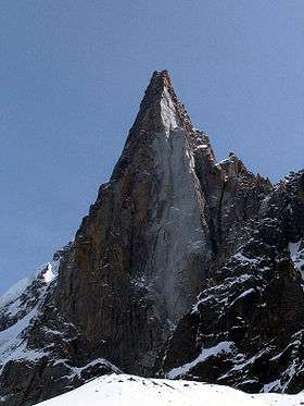
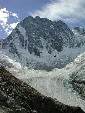
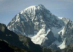
The Aiguille des Glaciers (Italian: Aiguille des Glaciers) (3,816 m) is a mountain in the Mont Blanc massif of the Alps, falling within Savoie and Haute-Savoie, France and the Aosta Valley, Italy.
On 1 November 1946 a B-17 Flying Fortress crashed into the Aiguille des Glaciers, killing all 8 crew members. The crash site was not discovered until July 1947, when remains were found at an altitude of 3,700 metres (12,000 ft)[1]
See also
References
- ↑ "Overview". B17 MontBlanc. Committee for the Commemoration of the B17 of the Aiguille des Glaciers. Retrieved 15 June 2016.
This article is issued from Wikipedia - version of the 10/5/2016. The text is available under the Creative Commons Attribution/Share Alike but additional terms may apply for the media files.