Agassiz Ice Cap
| Agassiz Ice Cap | |
|---|---|
|
The Agassiz Ice Cap | |
 | |
| Type | Icecap |
| Coordinates | 80°30′N 075°00′W / 80.500°N 75.000°WCoordinates: 80°30′N 075°00′W / 80.500°N 75.000°W |

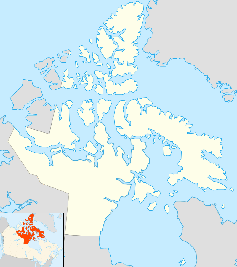
Agassiz Ice Cap is an ice cap on the central eastern side of Ellesmere Island, Nunavut, Canada.[1] The Agassiz ice cap is about 21,000 km2 (8,100 sq mi) in area.[1] It is located between the North Ellesmere ice field to the north and the Prince of Wales Icefield to the south.
References
- 1 2 Wolken, G.; Sharp, M.; Wang, L. (2009). "Snow and ice facies variability and ice layer formation on Canadian Arctic ice caps, 1999-2005" (PDF). Jrnl Geophysical Research. 114. doi:10.1029/2008JF001173.
This article is issued from Wikipedia - version of the 9/6/2014. The text is available under the Creative Commons Attribution/Share Alike but additional terms may apply for the media files.