Abridge

Coordinates: 51°39′08″N 0°07′09″E / 51.6523°N 0.1191°E
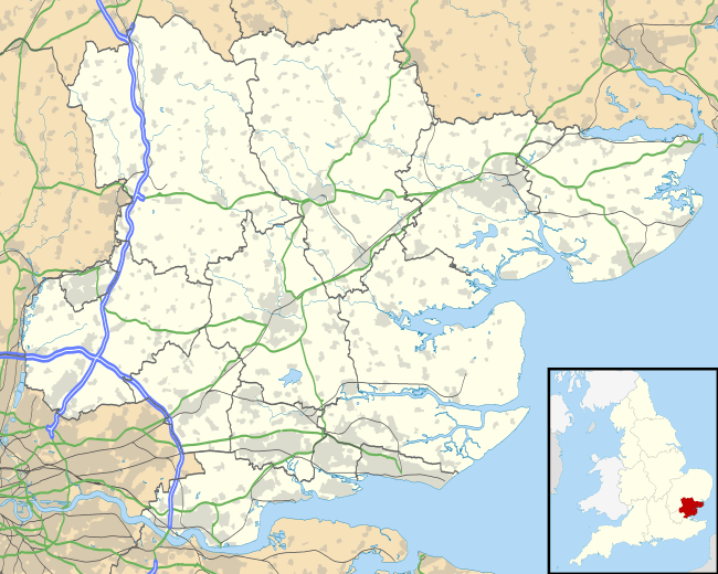
Abridge is a village in Essex, England. It is on the River Roding, 16 miles (26 km) southwest of the county town of Chelmsford. The village is in the district of Epping Forest and in the parliamentary constituency of Brentwood and Ongar. It is part of the civil parish of Lambourne and is served by Lambourne Parish Council.[1]
It takes its name from the brick bridge over the River Roding, which is situated just to the north of the modern centre, on the road to Theydon Bois.
History
Abridge lies on the historically important stagecoach route between London and Chipping Ongar and has been an important crossing point of the River Roding for many centuries. On the Saxton's Map of Essex, 1576, it is marked as Heybridge. The boundary of the Conservation Area includes the historic core of the village which is evident on the Chapman and Andre Map of 1777. Originally in the parish of Lambourne, Holy Trinity Church was built in 1836; before this, parishioners had to walk three miles to Lambourne Church by a footpath. A Wesleyan chapel was built in Abridge in 1833; it became Congregational in 1844.[2] The hymn tune "Abridge" by Isaac Smith 1734–1805 was named after the village.[3]
Listed buildings include the Blue Boar Inn (early 19th century), the group of medieval buildings that form the Roding Restaurant, the 18th-century house immediately northeast of the restaurant, Roding House (late medieval), River Cottage in Ongar Road, and the Maltsters Arms (18th century).
To the east of the village is Stapleford Aerodrome formerly RAF Stapleford Tawney of 11 Group east sector.
Geography
The village is in the south-west of the county, 16 miles (26 km) from Chelmsford. It is closer to London, being 14 miles (23 km) north-east of central London. It lies on the River Roding and is surrounded by a rural area. The nearest major settlements are Loughton 2.2 miles (3.5 km) to the West, Chigwell 2.4 miles (3.9 km) to the south-west and Theydon Bois 1.7 miles (2.7 km) north of the village.
It lies within the M25, but its closest major road link is the M11 motorway at junction 5 (towards London only). The main road that links the village with the M11 and Essex and London is the A113. Its nearest rail link is Theydon Bois tube station, on the Central line (Travelcard Zone 6), 1.6 miles (2.6 km) to the north of the village. The 541 bus links the village with Loughton, Theydon Bois and Epping. It extends to Harlow on Sundays. On Mon-Fri, the 575 service links the town with Epping and Romford, though these buses are very infrequent.
Sports
Abridge has a local cricket club[4] and golf club. [5]
Transport
Bus
Currently routes 541 and 575 serve the village. London Transport route 10 ran daily to London Bridge until 1964, with various extensions to Victoria station and Elephant and Castle.[6]
Rail
The nearest railway stations are London Underground services from Loughton, Debden and Theydon Bois. Route 541 (Loughton to Epping) serves all of these stations daily.
Notable residents
- Alan Curbishley, football club manager
References
- ↑ "Lambourne Parish Council - Key Contacts". Eppingforestdc.gov.uk. Retrieved 2007-01-21.
- ↑ "Lambourne - Nonconformity | A History of the County of Essex: Volume 4 (pp. 83-84)". British-history.ac.uk. 2003-06-22. Retrieved 2014-02-28.
- ↑ "Isaac Smith". Hymntime.com. Retrieved 2014-02-28.
- ↑ http://abridge.play-cricket.com/
- ↑ http://www.abridgegolf.com/
- ↑ "London Transport Central Area Routes 10–12". Eplates.info. Retrieved 2014-02-28.
External links
![]() Media related to Abridge at Wikimedia Commons
Media related to Abridge at Wikimedia Commons