Aïn Témouchent
| Aïn Témouchent عين تموشنت | |
|---|---|
| City | |
_location_map.svg.png) Location of Aïn Témouchent, Algeria within Aïn Témouchent Province | |
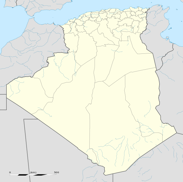 Aïn Témouchent Location of Aïn Témouchent within Algeria | |
| Coordinates: 35°18′N 1°08′W / 35.300°N 1.133°WCoordinates: 35°18′N 1°08′W / 35.300°N 1.133°W | |
| Country |
|
| Province | Aïn Témouchent |
| District | Aïn Témouchent District |
| Government | |
| • PMA Seats | 11 |
| Area | |
| • Total | 78.93 km2 (30.48 sq mi) |
| Elevation | 296 m (971 ft) |
| Population (2010)[1] | |
| • Total | 75,558 |
| • Density | 960/km2 (2,500/sq mi) |
| Time zone | CET (UTC+01) |
| Postal code | 46000 |
| ONS code | 4601 |
| Climate | Csa |
Aïn Témouchent is a city in north western Algeria;(Arabic: عين تموشنت), (Berber: ⵜⵉⵟ ⵏ ⵜⵎⵓⵛⵏⵜ) it is the capital of Aïn Témouchent Province. Ain Temouchent is located 72 km south-west of Oran, a city with which it is closely associated, and 63 km west of Sidi Bel Abbes. Known as "la Florissante", it is set in a narrow fertile basaltic valley amid vineyards and orchards.[2]
History
The town was found in 1851 by Spanish immigrants, who built on what had been the site of Roman Albulae and Arab Ksar ibn Senar.[2]
Population over time
| Historical population | ||
|---|---|---|
| Year | Pop. | ±% |
| 1901 | 7,000 | — |
| 1948 | 20,800 | +197.1% |
| 1954 | 25,200 | +21.2% |
| 1966 | 30,500 | +21.0% |
| 1977 | 29,800 | −2.3% |
| 1987 | 47,500 | +59.4% |
| 1998 | 55,200 | +16.2% |
| Source: Populstat[3] | ||
Gallery
.svg.png)
Former coat of arms
References
- ↑ Site officiel de la wilaya d'Aïn Témouchent Présentation / Population
- 1 2 Encyclopædia Britannica, "Aïn Temouchent"
- ↑ populstat.info

This article is issued from Wikipedia - version of the 11/6/2016. The text is available under the Creative Commons Attribution/Share Alike but additional terms may apply for the media files.