2012 Opunake earthquake
 | |
| Date | 3 July 2012, 10:36 pm NZST (UTC+12:00) |
|---|---|
| Magnitude | 6.5 ML; 6.3 Mw |
| Depth | 254 kilometres (158 mi) |
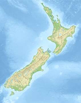
| Epicenter | 40°00′S 173°45′E / 40.00°S 173.75°ECoordinates: 40°00′S 173°45′E / 40.00°S 173.75°E |
| Areas affected | New Zealand |
| Tsunami | None |
| Casualties | None |
On 3 July 2012 at 10:36 pm (10:36 UTC), an earthquake struck off the coast of New Zealand's North Island. New Zealand's GeoNet reported a magnitude of 6.5 (ML),[1] whereas the United States Geological Survey reported a magnitude 6.3 (MW).[2] The earthquake was felt throughout New Zealand.[3][4][5]
Some residents on the Horowhenua coast evacuated to higher ground in anticipation of a tsunami, although Civil Defence believed the risk was low.[4]
The earthquake was followed by an aftershock of magnitude 4.6 at around 10:45 pm.[6]
See also
References
- ↑ "GeoNet - Quakes". www.geonet.org.nz. Retrieved 2015-12-12.
- ↑ "M6.3 - Cook Strait, New Zealand". earthquake.usgs.gov. Retrieved 2015-12-12.
- ↑ Radio NZ. "Major quake felt in parts of NZ".
- 1 2 Stuff.co.nz. "7.0 earthquake hits New Zealand".
- ↑ New Zealand Herald (3 July 2012). "Large earthquake felt across NZ". The New Zealand Herald.
- ↑ GNS Science. "New Zealand Earthquake Report - Jul 3 2012 at 10:45 pm (NZST)".
This article is issued from Wikipedia - version of the 6/14/2016. The text is available under the Creative Commons Attribution/Share Alike but additional terms may apply for the media files.