1991 Kalabahi earthquakes
 | |
| Date | July 4, 1991 |
|---|---|
| Origin time | 11:43 UTC |
| Magnitude | 6.9 Mw |
| Depth | 33.3 km (20.7 mi) |
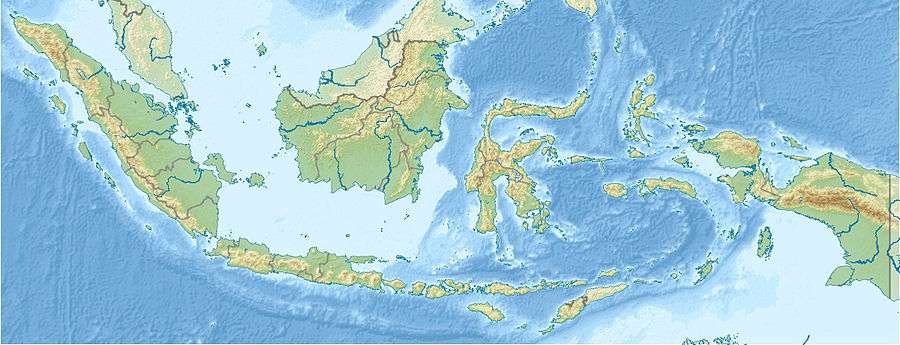
| Epicenter | 8°05′56″S 124°40′52″E / 8.099°S 124.681°ECoordinates: 8°05′56″S 124°40′52″E / 8.099°S 124.681°E |
| Casualties | 23 fatalities |
Striking the sea adjacent to Timor on July 4, the 1991 Kalabahi earthquakes left twenty three people dead and injured 181. Taking place about two-and-a-half seconds apart, the earthquakes measured 6.9 on the Richter magnitude scale.
Geography
Kalabahi was the epicenter of the earthquake, 2,000 kilometres (1,243 mi) east from Jakarta, the Indonesian capital.[1] With a calculated depth of 33.3 kilometres (21 mi),[2] the earthquake was in the ocean between the Timor and Alor islands.[3]
Damage and casualties
The earthquake struck Timor with a magnitude of 6.9.[3] The earthquake, which spawned fatalities on Alor alone,[4] caused 181 injuries. Destroying 1,150 buildings, the earthquake left at least 5,400 civilians homeless.[3]
Damage by the epicenter was estimated at 1991 USD $7,700,000.[3]
References
- ↑ "21 people die as earthquake hits Indonesia". Toronto Star. Torstar Corp. July 5, 1991. Retrieved September 20, 2009.
- ↑ "Indonesia Earthquake Jul 1991 UNDRO Information Report 1". United Nations Department of Humanitarian Affairs (DHA. July 8, 1991. Retrieved September 20, 2009.
- 1 2 3 4 "Significants Earthquakes of the World: 1991". United States Geological Survey. July 16, 2008. Retrieved September 20, 2009.
- ↑ "Earthquake In Indonesia Kills 5, Hurts 20". Saint Louis Post-Dispatch. Mowbray, Kevin. July 5, 1991. Retrieved September 20, 2009.