Zelma, Saskatchewan
| Village of Zelma | |
|---|---|
| Village | |
|
Main Street | |
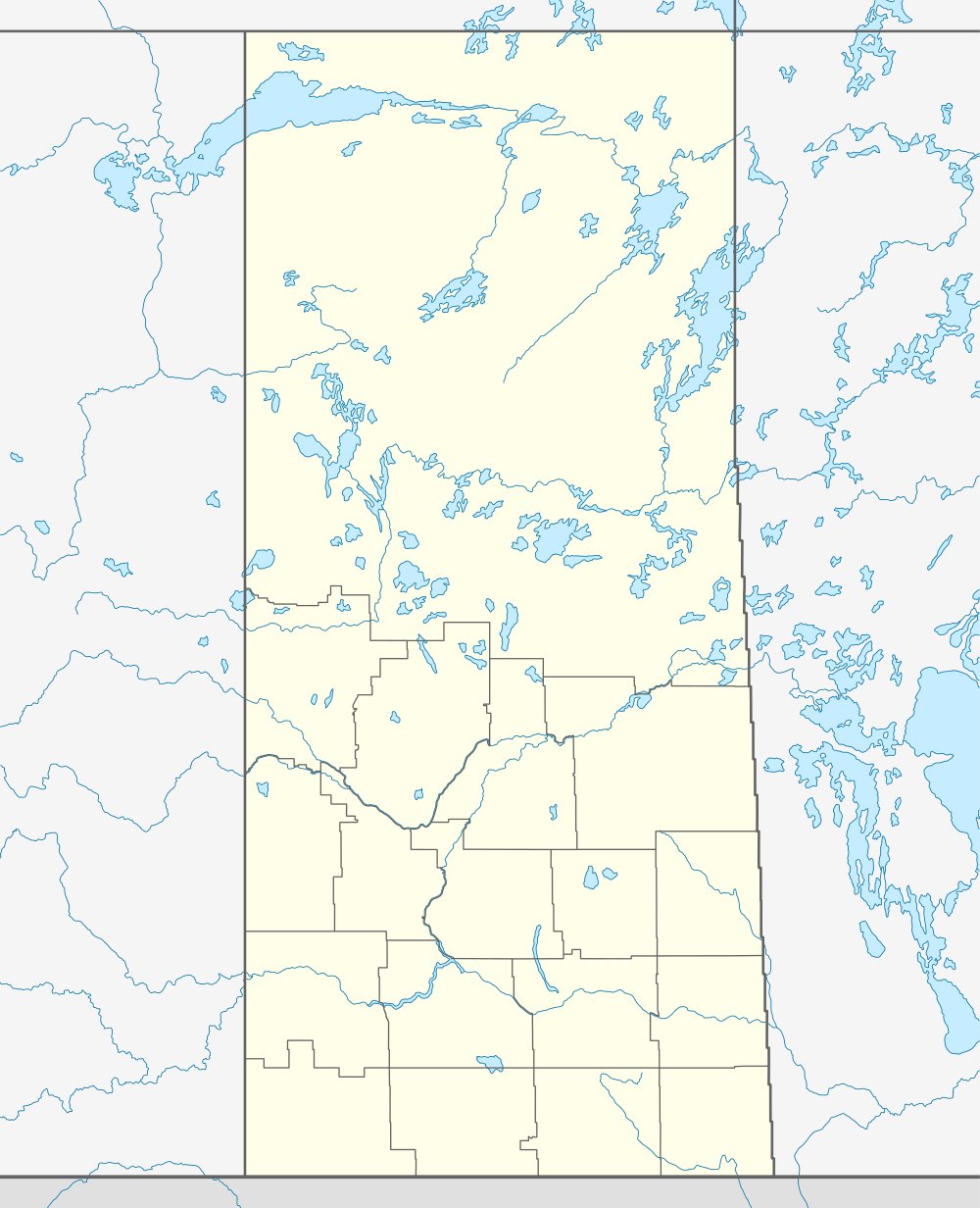  Location of Zelma in Saskatchewan | |
| Coordinates: 51°50′30″N 105°54′40″W / 51.841694°N 105.91121°W | |
| Country | Canada |
| Province | Saskatchewan |
| Region | Saskatchewan |
| Census division | No. 11 |
| Rural Municipality | Bayne No. 371 |
| Post office Founded | 1909 (closed 1985) |
| Incorporated (Village) | August 10, 1910 |
| Government | |
| • Mayor | R. Glen Crockett |
| Area | |
| • Total | 0.72 km2 (0.28 sq mi) |
| Population (2006) | |
| • Total | 30 |
| • Density | 41.9/km2 (109/sq mi) |
| Time zone | CST |
| Postal code | S0K 0C0 |
| Area code(s) | 306 |

Zelma is a small village in Saskatchewan. The village is located along Saskatchewan Highway 763.
History
During the early years following the establishment of Zelma, the village had a thriving business community with a general store, lumber yards, a hotel, bakery, flour mill and grain elevators; most of these business had disappeared by the end of the 1940s.[1]
The Zelma Church was building in 1909 with a load of $500 for lumber and volunteer labour; initially as a Presbyterian Church, it was reorganised in 1917 as the Zelma United Church.[2]
Until 1912, students were required to attend school in the neighboring communities of Stonemount or Golden Wheat due to reluctance of many of the farmers (who were bachelors) in the area to vote in favor of spending tax money on a school; in 1912 the school district was established, originally using the church for classes until a one room school house was constructed in 1925. The school closed in 1969, with students bussed to Young.[3]
Demographics
| Canada census – Zelma, Saskatchewan community profile | |||
|---|---|---|---|
| 2006 | 2001 | ||
| Population: | 30 (-25.0% from 2001) | 40 (- 7.0% from 1996) | |
| Land area: | 0.72 km2 (0.28 sq mi) | 0.72 km2 (0.28 sq mi) | |
| Population density: | 41.9/km2 (109/sq mi) | 55.8/km2 (145/sq mi) | |
| Median age: | N/A (M: N/A, F: N/A) | 41.5 (M: 45.0, F: 34.5) | |
| Total private dwellings: | 16 | 19 | |
| Median household income: | $N/A | $N/A | |
| References: 2006[4] 2001[5] | |||
See also
References
- ↑ "Footsteps to follow : a history of Young, Zelma and districts". Young Celebration Committee 1981 ISBN 0-88925-226-2. Retrieved 2011-03-06.
- ↑ "Footsteps to follow : a history of Young, Zelma and districts p. 97-99". Young Celebration Committee 1981 ISBN 0-88925-226-2. Retrieved 2011-03-06.
- ↑ "Footsteps to follow : a history of Young, Zelma and districts p. 124-126". Young Celebration Committee 1981 ISBN 0-88925-226-2. Retrieved 2011-03-06.
- ↑ "2006 Community Profiles". Canada 2006 Census. Statistics Canada. March 30, 2011. Retrieved 2011-03-06.
- ↑ "2001 Community Profiles". Canada 2001 Census. Statistics Canada. February 17, 2012. Retrieved 2011-03-06.
External links
 |
Colonsay | | ||
| Allan | |
Young | ||
| ||||
| | ||||
| Davidson |
| Subdivisions | |
|---|---|
| Communities | |
| Cities | |
| Topics |
|
| |
Coordinates: 51°50′28″N 105°54′40″W / 51.841°N 105.911°W