Ware Center Historic District
|
Ware Center Historic District | |
|
Congregational Meeting House | |
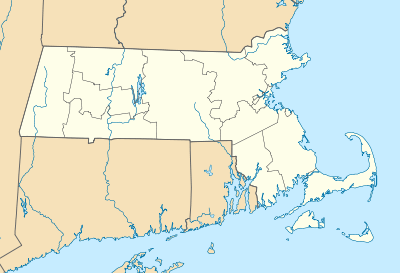  | |
| Location | Ware, Massachusetts |
|---|---|
| Coordinates | 42°15′40″N 72°16′42″W / 42.26111°N 72.27833°WCoordinates: 42°15′40″N 72°16′42″W / 42.26111°N 72.27833°W |
| Architect | Baxter,Ezekiel; et al. |
| Architectural style | Greek Revival, Georgian, Federal |
| NRHP Reference # | [1] |
| Added to NRHP | May 8, 1986 |

The Ware Center Historic District encompasses the historic civic center of Ware, Massachusetts. It stretches along Massachusetts Route 9 on either side of that road's junction with Greenwich Plains Road. Most of the structures in the district were built between 1760 and 1860, although there are some 20th century intrusions. The village retained much of its early Georgian and Federal character in part because the economic focus in the town moved with the advent of industrialization elsewhere in the town during the 19th century.[2] The district was listed on the National Register of Historic Places in 1986.[1]
See also
- Church Street Historic District (Ware, Massachusetts)
- Ware Millyard Historic District
- National Register of Historic Places listings in Hampshire County, Massachusetts
References
- 1 2 National Park Service (2008-04-15). "National Register Information System". National Register of Historic Places. National Park Service.
- ↑ "MACRIS inventory record for Ware Center Historic District". Commonwealth of Massachusetts. Retrieved 2013-12-16.
| Topics |  | ||||||||||||||||||||||||||||||
|---|---|---|---|---|---|---|---|---|---|---|---|---|---|---|---|---|---|---|---|---|---|---|---|---|---|---|---|---|---|---|---|
| Lists by county | |||||||||||||||||||||||||||||||
| Lists by city |
| ||||||||||||||||||||||||||||||
| Other lists | |||||||||||||||||||||||||||||||
| |||||||||||||||||||||||||||||||
This article is issued from Wikipedia - version of the 11/27/2016. The text is available under the Creative Commons Attribution/Share Alike but additional terms may apply for the media files.