Vlaška planina
| Vlaška planina | |
|---|---|
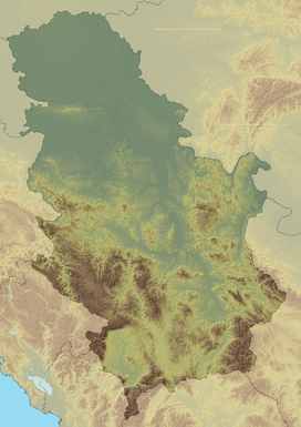 Vlaška planina Location in Serbia | |
| Highest point | |
| Elevation | 1,443 m (4,734 ft) [1] |
| Coordinates | 42°59′12″N 22°35′16″E / 42.98667°N 22.58778°ECoordinates: 42°59′12″N 22°35′16″E / 42.98667°N 22.58778°E |
| Geography | |
| Location | Southern Serbia |
Vlaška planina[1][2] (Serbian Cyrillic: Влашка планина) is a mountain in southeastern Serbia, near the town of Dimitrovgrad. Its highest peak Panica has an elevation of 1,443 meters (4,734 ft) above sea level. With Greben, Vlaška planina forms the gorge of Jerma river.
References
- 1 2 Jovan Đokić. "Katalog planina Srbije". PSD Kopaonik Beograd.
- ↑ "Kanjon Jerme – I dan, Greben planina". PEK "Gora" Kragujevac. Retrieved 2010-10-11.
This article is issued from Wikipedia - version of the 4/29/2014. The text is available under the Creative Commons Attribution/Share Alike but additional terms may apply for the media files.