Tupižnica
| Tupižnica | |
|---|---|
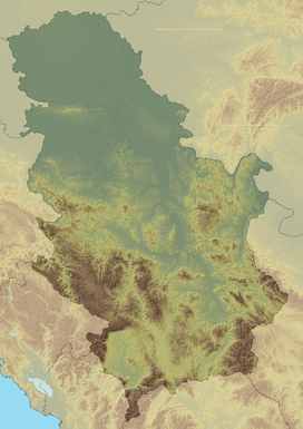 Tupižnica Location in Serbia | |
| Highest point | |
| Elevation | 1,162 m (3,812 ft) [1] |
| Coordinates | 43°42′11″N 22°09′06″E / 43.70306°N 22.15167°ECoordinates: 43°42′11″N 22°09′06″E / 43.70306°N 22.15167°E |
| Geography | |
| Location | Eastern Serbia |
| Parent range | Serbian Carpathians |
Tupižnica (Serbian Cyrillic: Тупижница, pronounced [tǔpiʒnitsa]) is a mountain in eastern Serbia, between towns of Boljevac, Zaječar and Knjaževac.[2] Its highest peaks, Bučanski kamen[3] and Glogovački vrh[4] have an elevation of 1,160 m and 1,162 m.
Tupižnica is prominent, surrounded by valleys. It mostly consists of a large karst plateau. It is remote and uninhabited, especially its vast forested northern parts, towards villages of Gornja Bela Reka and Lenovac in Zaječar municipality. Even the traditional activities of nomadic sheep-breeding and hunting have died out in the last decades.[5]
There is a communication tower at the ridge of the southern peak of Bučanski kamen, overlooking the village of Bučje.[2]
Like nearby Rtanj, Tupižnica is noted for its numerous Lilac trees.[2]
References
- ↑ Jovan Đokić. "Katalog planina Srbije". PSD Kopaonik Beograd.
- 1 2 3 Tupižnica - 24.05.2008. - 25.05.2008. (in Serbian), PD Pobeda
- ↑ 43°42′11″N 22°09′06″E / 43.70306°N 22.15167°E Bučanski kamen
- ↑ 43°43′44″N 22°09′42″E / 43.72889°N 22.16167°E Glogovački vrh
- ↑ "Tupižnica: Bučje – Gornja Bela Reka (20 km)" (in Serbian). Staze i bogaze. Retrieved 2010-08-23.