Thornton, East Riding of Yorkshire
Coordinates: 53°53′54″N 0°50′45″W / 53.898317°N 0.845721°W
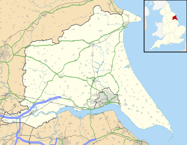
Thornton is a village and civil parish in the East Riding of Yorkshire, England. It is situated approximately 3.5 miles (5.6 km) south-west of the town of Pocklington and 5 miles (8 km) north-west of the village of Holme-on-Spalding-Moor. It lies just to the north of the Pocklington Canal.
According to the 2011 UK census, Thornton parish had a population of 138,[1] exactly the same as on the 2001 UK census.[2]

St Michael's Church, Thornton
The parish church of St Michael on Main Street is designated a Grade II* listed building.[3]
References
- 1 2 "Key Figures for 2011 Census: Key Statistics: Area: Thornton CP (Parish)". Neighbourhood Statistics. Office for National Statistics. Retrieved 7 February 2013.
- ↑ "2001 Census: Key Statistics: Parish Headcounts: Area: Thornton CP (Parish)". Neighbourhood Statistics. Office for National Statistics. Retrieved 20 May 2008.
- ↑ Historic England. "Church of St Michael (1346434)". National Heritage List for England. Retrieved 10 March 2013.
- Gazetteer — A–Z of Towns Villages and Hamlets. East Riding of Yorkshire Council. 2006. p. 11.
External links
| Wikimedia Commons has media related to Thornton. |
- Thornton in the Domesday Book
This article is issued from Wikipedia - version of the 1/24/2016. The text is available under the Creative Commons Attribution/Share Alike but additional terms may apply for the media files.