The Ovens, Nova Scotia
| The Ovens Natural Park, Nova Scotia | |
|---|---|
|
The Classic Ovens Natural Park | |
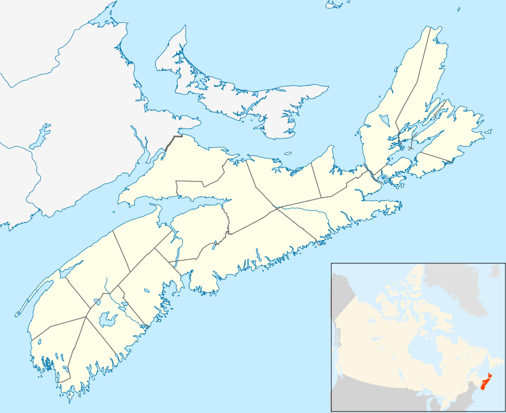 The Ovens Natural Park, Nova Scotia Location within Nova Scotia | |
| Coordinates: 44°19′10.82″N 64°16′25.67″W / 44.3196722°N 64.2737972°WCoordinates: 44°19′10.82″N 64°16′25.67″W / 44.3196722°N 64.2737972°W | |
| Country | Canada |
| Province | Nova Scotia |
| Municipality | Lunenburg Municipality |
| Elevation | 0 m (0 ft) |
| Highest elevation | 119 m (390 ft) |
| Lowest elevation | 0 m (0 ft) |
| Time zone | AST (UTC-4) |
| • Summer (DST) | ADT (UTC-3) |
| Canadian Postal code | B0J 2X0 |
| Area code(s) | 902 |
| Telephone Exchanges | 764, 766 |
| NTS Map | 021A08 |
| GNBC Code | CBFUW |
| Website |
www |

The Ovens Natural Park
The Ovens Natural Park in Feltzen South is part of the fairhaven Riverport District and site of a Gold Rush over a century ago. "The Ovens Natural Park" is a privately owned 190 acre pristine reserve of coastal forest, located on the Atlantic coast of Nova Scotia, along the scenic Lighthouse Route. For hundreds of years, people have been drawn to the incredible beauty, diverse geography, spiritual solace, and fascinating history that make "The Ovens Natural Park" so unique. Every year, park visitors hike the spectacular trails along the cliffs to view the famous sea caves, or "Ovens" for which the park was named. The park is located at the meeting point of Lunenburg and Rose Bay in Lunenburg County.
The Ovens Gallery
 A Hardy Meal At The Ol' Gold Miner Diner
 A View Of Rose Head And Stairs To Cunard Beach
 Folded rocks exposed along the shore near the western part of the park.
References
External links
This article is issued from Wikipedia - version of the 10/21/2016. The text is available under the Creative Commons Attribution/Share Alike but additional terms may apply for the media files.