Shatvan
Coordinates: 40°10′59″N 45°49′32″E / 40.18306°N 45.82556°E
| Shatvan Շատվան | |
|---|---|
 Shatvan | |
| Coordinates: 40°10′59″N 45°49′32″E / 40.18306°N 45.82556°E | |
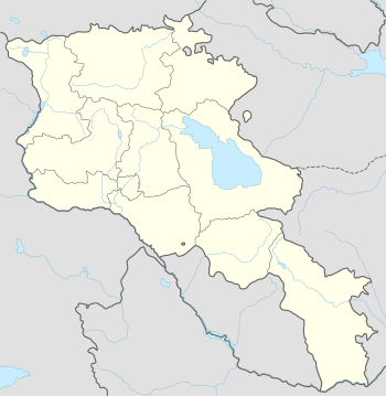
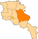
| Country | Armenia |
| Marz (Province) | Gegharkunik |
| Population (2001) | |
| • Total | 577 |
| Time zone | (UTC+4) |
| • Summer (DST) | (UTC+5) |
Shatvan (Armenian: Շատվան; also, Shatavan; formerly, Narimanlu, Agalu, and Guseyn Kuli) is a village in the Gegharkunik Province of Armenia. The local cemetery dates to the 15-16th centuries.[1]
References
External links
- Shatvan at GEOnet Names Server
- Report of the results of the 2001 Armenian Census, National Statistical Service of the Republic of Armenia
- Brady Kiesling, Rediscovering Armenia, p. 48; original archived at Archive.org, and current version online on Armeniapedia.org.
This article is issued from Wikipedia - version of the 8/6/2016. The text is available under the Creative Commons Attribution/Share Alike but additional terms may apply for the media files.