Ponikve (mountain)
| Ponikve | |
|---|---|
| Поникве | |
 Solotnik fortress on the mountain Tara near massif Ponikve | |
| Highest point | |
| Elevation | 1,008 m (3,307 ft) [1] |
| Coordinates | 43°54′10″N 19°38′29″E / 43.902778°N 19.641389°ECoordinates: 43°54′10″N 19°38′29″E / 43.902778°N 19.641389°E |
| Geography | |
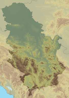 Ponikve Location in Serbia | |
| Location | Western Serbia |
Ponikve (Serbian Cyrillic: Поникве) is a mountain and plateau in western Serbia, between cities of Užice and Bajina Bašta. Its highest peak Jarčevo brdo has an elevation of 1,008 meters above sea level. At Ponikvе is also Užice-Ponikve Airport, also known as the Lepa Glava. Ponikve airport was heavily bombarded by NATO forces during the 1999 NATO bombing of Yugoslavia. It is the only airport in the western part of Serbia, and is currently under reconstruction.
References
- ↑ Jovan Đokić. "Katalog planina Srbije". PSD Kopaonik Beograd.
This article is issued from Wikipedia - version of the 10/24/2016. The text is available under the Creative Commons Attribution/Share Alike but additional terms may apply for the media files.