Myndtown
| Myndtown | |
 Myndtown |
|
 Myndtown |
|
| OS grid reference | SO389895 |
|---|---|
| Civil parish | Myndtown |
| Unitary authority | Shropshire |
| Ceremonial county | Shropshire |
| Region | West Midlands |
| Country | England |
| Sovereign state | United Kingdom |
| Post town | LYDBURY NORTH |
| Postcode district | SY7 |
| Dialling code | 01588 |
| Police | West Mercia |
| Fire | Shropshire |
| Ambulance | West Midlands |
| EU Parliament | West Midlands |
| UK Parliament | Ludlow |
|
|
Coordinates: 52°30′00″N 2°53′56″W / 52.500°N 2.899°W
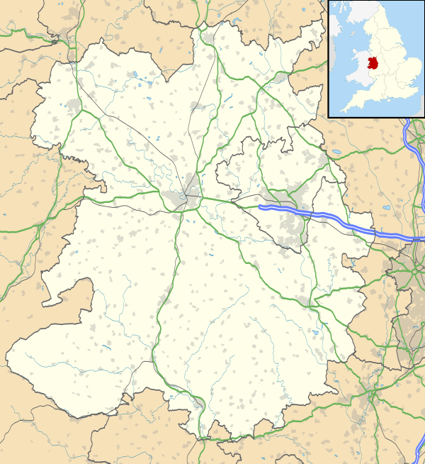
Myndtown (sometimes formerly spelt Mindtown) is a small village and civil parish in rural Shropshire, around 5 miles to the north-east of Bishop's Castle.
The village of Myndtown itself lies immediately beneath the slope of the Long Mynd; it consists of only one farm, the former rectory and the small parish church of St. John, which has 12th-century origins and is Grade II listed.[1] The parish is sparsely populated and includes some other small settlements such as Asterton.
References
- ↑ Church of St John, Myndtown, British Listed Buildings
This article is issued from Wikipedia - version of the 1/8/2016. The text is available under the Creative Commons Attribution/Share Alike but additional terms may apply for the media files.