Makwal Kalan
| Makwal Kalan | |
|---|---|
| Union council and town | |
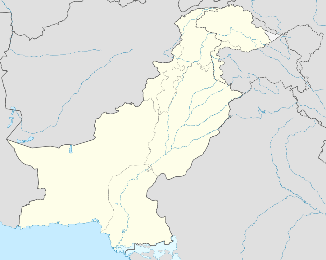 Makwal Kalan Location in Pakistan | |
| Coordinates: 30°35′00″N 70°44′00″E / 30.58333°N 70.73333°E | |
| Country | Pakistan |
| Province | Punjab |
| District | Dera Ghazi Khan District |
| Elevation | 443 ft (135 m) |
| Time zone | PST (UTC+5) |
| • Summer (DST) | +6 (UTC) |
Makwal Kalan is a town and union council in the Taunsa Tehsil subdivision of Dera Ghazi Khan District in the Punjab province of Pakistan.[1] It is located at 30°35'00N 70°44'00E and has an altitude of 135 metres (443 ft).[2]
Makwal Kalan is 69 km from Dera Ghazi Khan and located 4 km away from the geographical centre of Pakistan, close to the Sulaiman Mountains and Taunsa Barrage.
The major tribe in the town is the Nutkani. Its fertile agricultural lands produce many different crops.
During the floods in 2010 flood people from the town hosted many flood victims.
References
Coordinates: 30°35′00″N 70°44′00″E / 30.58333°N 70.73333°E
This article is issued from Wikipedia - version of the 10/23/2016. The text is available under the Creative Commons Attribution/Share Alike but additional terms may apply for the media files.