Kampong Chhnang Airport
| Kampong Chhnang Airport | |||||||||||
|---|---|---|---|---|---|---|---|---|---|---|---|
| IATA: KZC – ICAO: VDKH | |||||||||||
| Summary | |||||||||||
| Airport type | Public | ||||||||||
| Operator | Government | ||||||||||
| Serves | Kompong Chhnang, Cambodia | ||||||||||
| Elevation AMSL | 56 ft / 17 m | ||||||||||
| Coordinates | 12°15′18″N 104°33′49″E / 12.25500°N 104.56361°ECoordinates: 12°15′18″N 104°33′49″E / 12.25500°N 104.56361°E | ||||||||||
| Map | |||||||||||
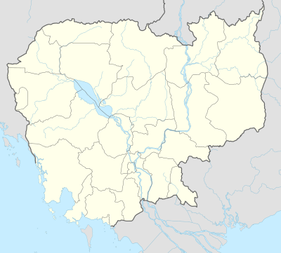 Kampong Location of airport in Cambodia | |||||||||||
| Runways | |||||||||||
| |||||||||||
| Statistics (?) | |||||||||||
| |||||||||||
Kampong Chhnang Airport (IATA: KZC, ICAO: VDKH) is an airport serving Kampong Chhnang, the capital of the Kampong Chhnang Province in Cambodia.
Facilities
The airport resides at an elevation of 60 feet (18 m) above mean sea level. It has one runway designed 18/36 with a concrete surface measuring 2,400 by 50 metres (7,874 ft × 164 ft).[1]
References
- 1 2 Airport information for VDKH from DAFIF (effective October 2006)
- ↑ Airport information for KZC at Great Circle Mapper. Source: DAFIF (effective October 2006).
External links
This article is issued from Wikipedia - version of the 11/27/2016. The text is available under the Creative Commons Attribution/Share Alike but additional terms may apply for the media files.