Gvozdac rocks
| Gvozdac rocks | |
|---|---|
 Gvozdac rocks from the Drina river | |
| Highest point | |
| Elevation | 1,231 m (4,039 ft) [1] |
| Coordinates | 44°06′02″N 19°37′53″E / 44.100556°N 19.631389°ECoordinates: 44°06′02″N 19°37′53″E / 44.100556°N 19.631389°E |
| Geography | |
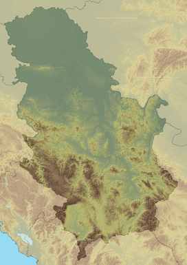 Gvozdac rocks Location in Serbia | |
| Location | Western Serbia |
Gvozdac rocks (Serbian Cyrillic: Гвоздачке стене) is a mountain in western Serbia. It overlooks the Drina river, between the towns of Bajina Bašta and Ljubovija. Its highest peak, Svilena stena, has an elevation of 1,231 meters, followed by Sokolina to the west at 1,225 meters. The mountain is named after the village Gvozdac.

Gvozdac rocks
References
- ↑ Jovan Đokić. "Katalog planina Srbije". PSD Kopaonik Beograd.
This article is issued from Wikipedia - version of the 4/5/2016. The text is available under the Creative Commons Attribution/Share Alike but additional terms may apply for the media files.