Diu Airport
| Diu Airport | |||||||||||||||
|---|---|---|---|---|---|---|---|---|---|---|---|---|---|---|---|
 | |||||||||||||||
| IATA: DIU – ICAO: VA1P | |||||||||||||||
| Summary | |||||||||||||||
| Airport type | Public | ||||||||||||||
| Operator | Airports Authority of India | ||||||||||||||
| Serves | Diu, Jafrabad | ||||||||||||||
| Location | Diu, India | ||||||||||||||
| Elevation AMSL | 31 ft / 9 m | ||||||||||||||
| Coordinates | 20°42′47″N 070°55′16″E / 20.71306°N 70.92111°ECoordinates: 20°42′47″N 070°55′16″E / 20.71306°N 70.92111°E | ||||||||||||||
| Map | |||||||||||||||
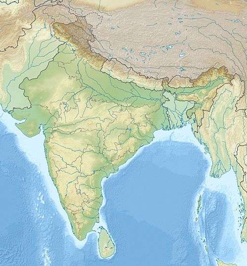 DIU Location of airport in India | |||||||||||||||
| Runways | |||||||||||||||
| |||||||||||||||
Diu Airport (IATA: DIU) is a civilian aerodrome located at Diu in the Union Territory of Daman and Diu, India. Besides Diu, it also serves the neighbouring areas of Gujarat, including Veraval and Jafrabad.
History
Diu Airport was built in 1954, when Diu was part of Portuguese India.[1] Transportes Aéreos da Índia Portuguesa (TAIP) commenced operations to Diu on 16 August 1955. The airline linked Diu with Goa, Daman and Karachi[2] until December 1961, when the Indian air force bombed the airfield. [3]
Structure

Diu Airport's main runway 05/23 is 5922 ft (1826m) long and 45m wide, connected to an apron measuring 60 by 90 metres via two taxiways. The airport terminal can accommodate 100 passengers each in the arrivals and departure halls. A non-directional beacon (NDB) is Diu's sole navigational aid. [4]
Airlines and destinations
| Airlines | Destinations |
|---|---|
| Air India Regional | Mumbai |
References
- ↑ "General Vasssalo e Silva". Retrieved 2 November 2011.
- ↑ "Dabolim and TAIP". Retrieved 1 November 2011.
- ↑ "Liberation of Goa - An Overview". Retrieved 2 November 2011.
- ↑ "AAI Website". Retrieved 2 November 2011.
External links
- Diu Airport - India Airport Global Website
- Diu Airport at AAI
- Airport information for VA1P at World Aero Data. Data current as of October 2006.