Delaware Boundary Markers
|
Delaware Boundary Markers | |
|
Mason-Dixon Monument, October 2011 | |
| Location | State boundary lines between DE-MD/DE-PA, Delaware |
|---|---|
| Area | 0 acres (0 ha) |
| Built | 1763 |
| Architect | Mason, Charles; Dixon, Jeremiah |
| NRHP Reference # | 75002101[1] |
| Added to NRHP | February 18, 1975 |

Delaware Boundary Markers is a national historic district located on the State boundary lines between Delaware, Maryland, and Pennsylvania. The district includes 94 contributing sites along the Mason–Dixon line and includes the Transpeninsular Line, "Post Marked West" site, Mason–Dixon line, Tangent Line, The Arc, and The 12-Mile Circle.[2]
It was added to the National Register of Historic Places in 1975.[1]
References
- 1 2 National Park Service (2010-07-09). "National Register Information System". National Register of Historic Places. National Park Service.
- ↑ Edward F. Heite (October 1974). "National Register of Historic Places Inventory/Nomination: Delaware Boundary Markers" (PDF). and Accompanying photo
| Topics |  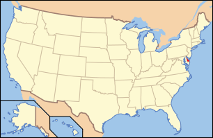 | |
|---|---|---|
| Lists by county | ||
| Lists by city | ||
| Other lists | ||
| ||
This article is issued from Wikipedia - version of the 6/21/2016. The text is available under the Creative Commons Attribution/Share Alike but additional terms may apply for the media files.