Carwynnen
Coordinates: 50°11′06″N 5°17′35″W / 50.185°N 5.293°W
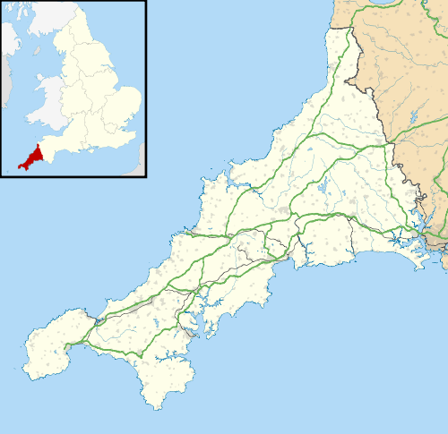
Carwynnen is a hamlet in Cornwall, England.[1] It is located between the villages of Troon and Praze-an-Beeble,[2] and is situated 2 miles (3.2 km) south of Camborne. [1] Carwynnen consists of only 7 dwellings.

Carwynnen
Carwynnen was part of the Pendarves Estate which lay between Troon and the Camborne parish boundary with Crowan, at the River Connor that runs through Carwynnen. Nearby is Carwynnen Quoit.
References
- 1 2 "Magic Map Application". DEFRA. Retrieved 10 January 2016.
- ↑ Ordnance Survey One-inch Map of Great Britain; Land's End, sheet 189. 1961
Cornwall Portal | |
| Unitary authorities | |
| Major settlements |
|
| Rivers | |
| Topics | |
This article is issued from Wikipedia - version of the 1/10/2016. The text is available under the Creative Commons Attribution/Share Alike but additional terms may apply for the media files.