Braceby
| Braceby | |
 St Margaret's Church, Braceby |
|
 Braceby |
|
| OS grid reference | TF016354 |
|---|---|
| – London | 95 mi (153 km) S |
| Civil parish | Braceby and Sapperton |
| District | South Kesteven |
| Shire county | Lincolnshire |
| Region | East Midlands |
| Country | England |
| Sovereign state | United Kingdom |
| Post town | SLEAFORD |
| Postcode district | NG34 |
| Dialling code | 01529 |
| Police | Lincolnshire |
| Fire | Lincolnshire |
| Ambulance | East Midlands |
| EU Parliament | East Midlands |
| UK Parliament | Grantham and Stamford |
|
|
Coordinates: 52°54′22″N 0°29′22″W / 52.906154°N 0.489319°W
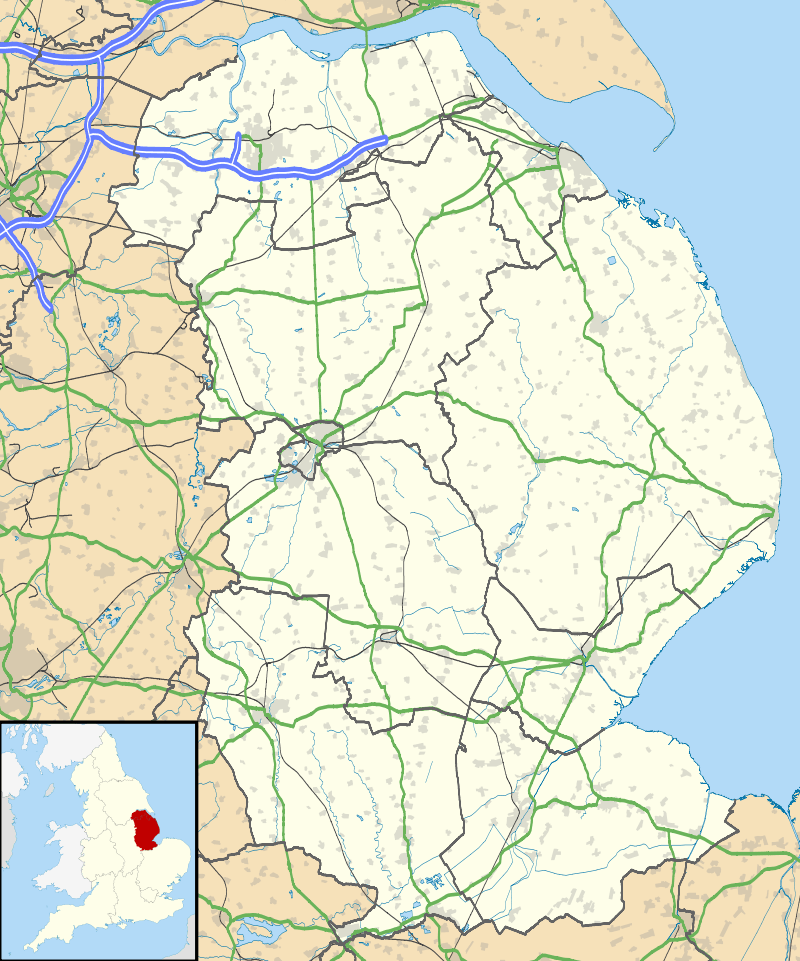
Braceby is a small village in the South Kesteven district of Lincolnshire, England. The population is included in the civil parish of Pickworth.
Parishes
Situated to the south of the A52 road and approximately 6 miles (10 km) east of the market town of Grantham, the village forms part of the civil parish of Braceby and Sapperton and has a population of just under 30. Braceby belonged to the historical wapentake of Winnibriggs and Threo,[1] and within that to the Soke of Grantham.[2]
The church, St Margaret's, dates back to the 13th century but was restored in the 19th.[3] The ecclesiastical parish is part of the North Beltisloe Group in the Deanery of Beltisloe and the Diocese of Lincoln.[4] From 2006 to 2011 the incumbent was Rev. Richard Ireson.[5] Services are held once or twice a month.
Many village buildings, especially those dating from the 16th and 17th century, include limestone quarried in the district at places such as Ancaster.[6] The population peaked about 1861, when there were 168 inhabitants in 37 houses, but the population declined rapidly. By 1970 it was under 20, but a decision by the local landowners, the Welby family, to sell off empty and unwanted cottages led to some recovery and saved the church from closure.[7]
Nature
The 65 roadside nature reserves maintained by the Lincolnshire Wildlife Trust, under a local-government scheme dating back to 1960, include one on both sides of the Braceby–Walcot road south-east of the village.[8] The list of plants found at this reserve runs to 250 species. Notable among them are early purple orchids (Orchis mascula), common orchids (Dactylorhiza fuchsii) and cowslips (primula veris).[9]
Livestock farming (cattle and sheep) has largely given way to arable since the 1970s, but a small amount of permanent grazing remains. Some mixed afforestation has occurred.[10]
References
- ↑ Vision of Britain Retrieved 7 November 2016.
- ↑ Vision of Britain Retrieved 6 August 2013.
- ↑ Braceby Past and Present. Retrieved 31 August 2014.
- ↑ "Braceby P C C" Archived 12 May 2012 at the Wayback Machine. Diocese of Lincoln. Retrieved 14 May 2012
- ↑ "North Beltisloe Group Council Report for PCC AGMs."; Boothby.org.uk. PDF download required. Retrieved 14 May 2012
- ↑ Natural England – Kesteven Uplands. Retrieved 4 August 2013.
- ↑ Braceby Past & Present: History Retrieved 7 November 2016.
- ↑ List of Lincolnshire roadside reserves Retrieved 7 November 2016.
- ↑ Braceby Past & Present: Wildlife, nature and birds Retrieved 7 November 2016.
- ↑ Geology and landscape. Retrieved 14 October 2014.
External links
 Media related to Braceby at Wikimedia Commons
- Location map of Braceby
- Aerial view of Braceby
- Braceby Village web site
- North Beltisloe web site
England Portal | |
| Unitary authorities | |
| Boroughs or districts | |
| Major settlements |
|
| Topics | |