Bowlee
| Bowlee | |
 St Thomas' Church, Bowlee |
|
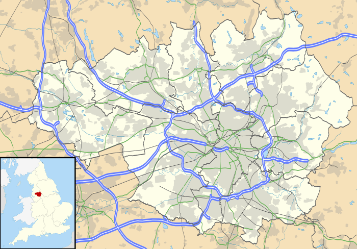 Bowlee |
|
| OS grid reference | SD843063 |
|---|---|
| Metropolitan borough | Rochdale |
| Metropolitan county | Greater Manchester |
| Region | North West |
| Country | England |
| Sovereign state | United Kingdom |
| Post town | MANCHESTER |
| Postcode district | M24 |
| Dialling code | 0161 |
| Police | Greater Manchester |
| Fire | Greater Manchester |
| Ambulance | North West |
| EU Parliament | North West England |
| UK Parliament | Heywood and Middleton |
|
|
Coordinates: 53°33′11″N 2°14′13″W / 53.553°N 2.237°W
Bowlee is a village in Greater Manchester, England.[1][2] Bowlee is situated along the Heywood Old Road (A6045) on the outskirts of Middleton between Rhodes and Heywood. Historically it forms part of Lancashire.
RAF Bowlee
The RAF acquired 110 acres (0.45 km2) of land between Bowlee and the nearby village of Birch: 54 acres (220,000 m2) of land were acquired from the Langley Hall Estate plus 56 acres (230,000 m2) from Manchester Corporation. This included Bowlee Farm land and 6 acres (24,000 m2) of Parkside Farm.
Car boot sales
Large regular car boots sales are held during the summer months at the Bowlee Community Park.
Public transport
The area is served by bus service 125 which is the Middleton, Rhodes, Birch, Langley, Alkrington circular which operates mornings and afternoons only from Mondays to Saturdays.
References
- ↑ Ordnance Survey: Landranger map sheet 109 Manchester (Bolton & Warrington) (Map). Ordnance Survey. 2014. ISBN 9780319231555.
- ↑ "Ordnance Survey: 1:50,000 Scale Gazetteer" (csv (download)). www.ordnancesurvey.co.uk. Ordnance Survey. 1 January 2016. Retrieved 30 January 2016.
| Wikimedia Commons has media related to Bowlee. |