Bempton
| Bempton | |
 St Michael's Church |
|
 Bempton |
|
| Population | 1,040 (2011 census)[1] |
|---|---|
| OS grid reference | TA190722 |
| – London | 180 mi (290 km) S |
| Civil parish | Bempton |
| Unitary authority | East Riding of Yorkshire |
| Ceremonial county | East Riding of Yorkshire |
| Region | Yorkshire and the Humber |
| Country | England |
| Sovereign state | United Kingdom |
| Post town | BRIDLINGTON |
| Postcode district | YO15 |
| Dialling code | 01262 |
| Police | Humberside |
| Fire | Humberside |
| Ambulance | Yorkshire |
| EU Parliament | Yorkshire and the Humber |
| UK Parliament | East Yorkshire |
Coordinates: 54°07′54″N 0°10′38″W / 54.1317°N 0.1772°W
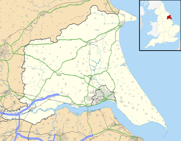
Bempton is a village and civil parish in the East Riding of Yorkshire, England, near the border with North Yorkshire. It is near the North Sea coast and Flamborough Head, and is situated about 4 miles (6.4 km) north of Bridlington. It lies on the B1229 road between Speeton and Flamborough. It is served by Bempton railway station which is on the Yorkshire Coast Line that runs between Hull and Scarborough.
The parish of Bempton also contains Buckton village, which is situated directly next to Bempton. According to the 2011 UK census, Bempton parish had a population of 1,040,[1] a slight decrease on the 2001 UK census figure of 1,050.[2]
Amenities
The parish church of St Michael is a Grade II* listed building and dates back to the 13th century.[3]
The village is well known for its cliffs. Bempton Cliffs is an RSPB nature reserve, best known for its breeding seabirds, including northern gannet, Atlantic puffin, razorbill, common guillemot, black-legged kittiwake and fulmar. Bempton also used to be home to RAF Bempton, an early warning station. Some of the old buildings are still visible from the cliff top.
Bempton has a post office and general store, a garage, a hairdresser, antique shop and snooker club. It is home to Bempton Primary School, which was completely rebuilt in 2004 at a cost of over £1 million.[4] It also has a public house, The White Horse, which has a distinctive blue tiled roof.
In 2014, after many years of fundraising and a lottery grant of £408,000, Bempton and Buckton Community Village Hall was opened on land between the two villages.[5]
There is also a children's playground between the villages of Bempton and Buckton.
Bronze Age pit dwellings have been discovered near Bempton.[6]
Gallery
-

18th-century houses, High Street
-

The mere
-

Old windmill at Mill Farm
See also
References
- 1 2 "Key Figures for 2011 Census: Key Statistics: Area: Bempton CP (Parish)". Neighbourhood Statistics. Office for National Statistics. Retrieved 2 February 2013.
- ↑ "2001 Census: Key Statistics: Parish Headcounts: Area: Bempton CP (Parish)". Neighbourhood Statistics. Office for National Statistics. Retrieved 14 May 2008.
- ↑ Historic England. "Church of St Michael (1161842)". National Heritage List for England. Retrieved 27 June 2013.
- ↑ "East Riding News". East Riding of Yorkshire Council. December 2004: 13. Archived from the original (PDF) on 9 June 2011. Retrieved 3 February 2013.
- ↑ "After Decades In The Pipeline- Work starts On Bempton Village Hall". Yorkshire Coast Radio. Retrieved 13 April 2014.
- ↑ "Settlement profile of Bemption" (PDF). East Riding of Yorkshire Council. 7 November 2008. Retrieved 20 November 2014.
- Gazetteer — A–Z of Towns Villages and Hamlets. East Riding of Yorkshire Council. 2006. p. 3.
External links
 Media related to Bempton at Wikimedia Commons
- Historic England. "St Michael's Church (166787)". Images of England.
- Bempton in the Domesday Book
- Bempton Village Hall Quiz website
- Bempton Primary School website
- Bempton and Buckton Community Village Hall