Balod
| Balod बालोद Sanjari Balod | |
|---|---|
| city | |
 Balod  Balod | |
| Coordinates: 20°44′N 81°12′E / 20.73°N 81.2°ECoordinates: 20°44′N 81°12′E / 20.73°N 81.2°E | |
| Country | India |
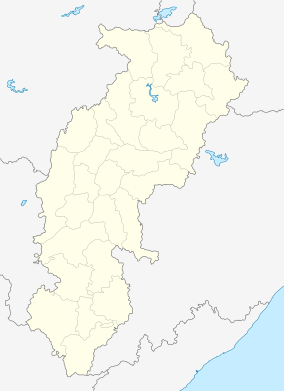
| State | Chhattisgarh |
| District | Balod |
| Elevation | 324 m (1,063 ft) |
| Population (2011) | |
| • Total | 32,432 |
| Languages | |
| • Official | Hindi, Chhattisgarhi |
| Time zone | IST (UTC+5:30) |
| PIN | 491226 |
| Vehicle registration | CG |
Balod is a town in banks of river Tandula and a nagar palika in Balod district in the state of Chhattisgarh, India. Balod is 44 km from Dhamtari and 58 km from Durg. Balod has one college, one court, one CHC ( Community Health Center ), and a jail. Medical facilities are good in Balod. There are two Dams nearby Tandula and Aadmabaad built on rivers sukha and tandula in 1913. On January 1,2012 it was notified as Civil District though revenue district was declared from January 10,2012. Balod became the 29th district of Chhattishgarh.There are several religious temples nearby town, particularly Ganga Maiyya temple and Siyadevi temple hold great religious value for the townsfolk.
Geography
Balod is located at 20°44′N 81°12′E / 20.73°N 81.2°E.[1] It has an average elevation of 324 metres (1063 feet). balod 2nd A.S.P. Mr paikra
Demographics
As of 2001 India census,[2] Balod had a population of 21,044. Males constitute 51% of the population and females 49%. Balod has an average literacy rate of 73%, higher than the national average of 59.5%; with 56% of the males and 44% of females literate. 13% of the population is under 6 years of age.
References
- ↑ Falling Rain Genomics, Inc - Balod
- ↑ "Census of India 2001: Data from the 2001 Census, including cities, villages and towns (Provisional)". Census Commission of India. Archived from the original on 2004-06-16. Retrieved 2008-11-01.