Angora Peak
| Angora Peak | |
|---|---|
 Angora Peak  Angora Peak
| |
| Highest point | |
| Elevation | 8,588 ft (2,618 m) NGVD 29[1] |
| Prominence | 168 ft (51 m) [1] |
| Coordinates | 38°52′02″N 120°04′22″W / 38.8671298°N 120.0726847°WCoordinates: 38°52′02″N 120°04′22″W / 38.8671298°N 120.0726847°W [2] |
| Geography | |
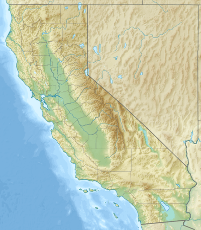
| Location | El Dorado County, California, U.S. |
| Parent range | Sierra Nevada |
| Topo map | USGS Echo Lake |
| Climbing | |
| Easiest route | Hike, class 2 to 3[3] |
Angora Peak is a summit in the Sierra Nevada south of Lake Tahoe in El Dorado County, California. The summit marks a point on the eastern boundary of the Desolation Wilderness and is in the Eldorado National Forest.
The peak is located south of Fallen Leaf Lake and northwest of the Angora Lakes.
References
- 1 2 "Angora Peak CA". ListsOfJohn.com. Retrieved 2016-04-01.
- ↑ "Angora Peak". Geographic Names Information System. United States Geological Survey. Retrieved 2009-06-30.
- ↑ "Angora Peak". Tahoe Adventure Sports. Retrieved 2009-12-09.
This article is issued from Wikipedia - version of the 8/5/2016. The text is available under the Creative Commons Attribution/Share Alike but additional terms may apply for the media files.