Aldfield

Coordinates: 54°07′12″N 1°35′53″W / 54.120°N 01.598°W
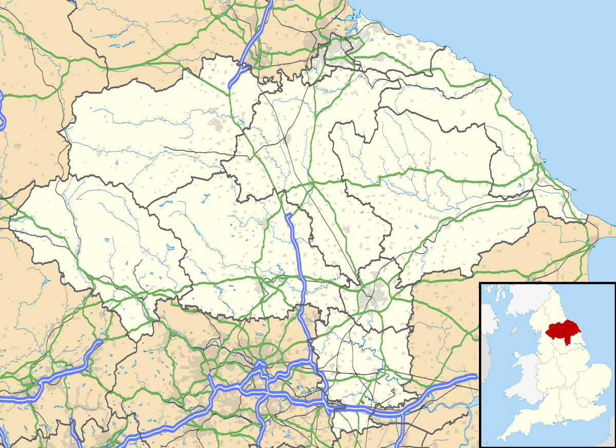
Aldfield is a village and civil parish in the Harrogate district of North Yorkshire, England, about three miles west of Ripon.[1][2] It is the closest village to Fountains Abbey. The population of the parish was estimated at 80 in 2013.[3]
Aldfield was listed in the Domesday Book of 1086.[4]
Historically, the village lay in the Claro Wapentake of the West Riding of Yorkshire. It was transferred to North Yorkshire in 1974.
References
- ↑ Ordnance Survey: Landranger map sheet 99 Northallerton & Ripon (Pateley Bridge & Leyburn) (Map). Ordnance Survey. 2013. ISBN 9780319231593.
- ↑ "Ordnance Survey: 1:50,000 Scale Gazetteer" (csv (download)). www.ordnancesurvey.co.uk. Ordnance Survey. 1 January 2016. Retrieved 30 January 2016.
- ↑ "Population Estimates". North Yorkshire County Council. 2013. Retrieved 2 April 2016. In the 2011 census the population was included in the civil parish of Grantley."Civil Parish population 2011". Neighbourhood Statistics. Office for National Statistics. Retrieved 15 February 2016.
- ↑ Professor J.J.N.Palmer. "Open Doomsday: Aldfield". www.opendomesday.org. Anna Powell-Smith. Retrieved 31 January 2016.
External links
 Media related to Aldfield at Wikimedia Commons
- Aldfield in the Domesday Book
This article is issued from Wikipedia - version of the 5/16/2016. The text is available under the Creative Commons Attribution/Share Alike but additional terms may apply for the media files.